Tornado Warning News Live: Storm Systems Trigger Alerts Across Multiple States
A Night of Escalating Weather Threats
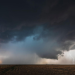
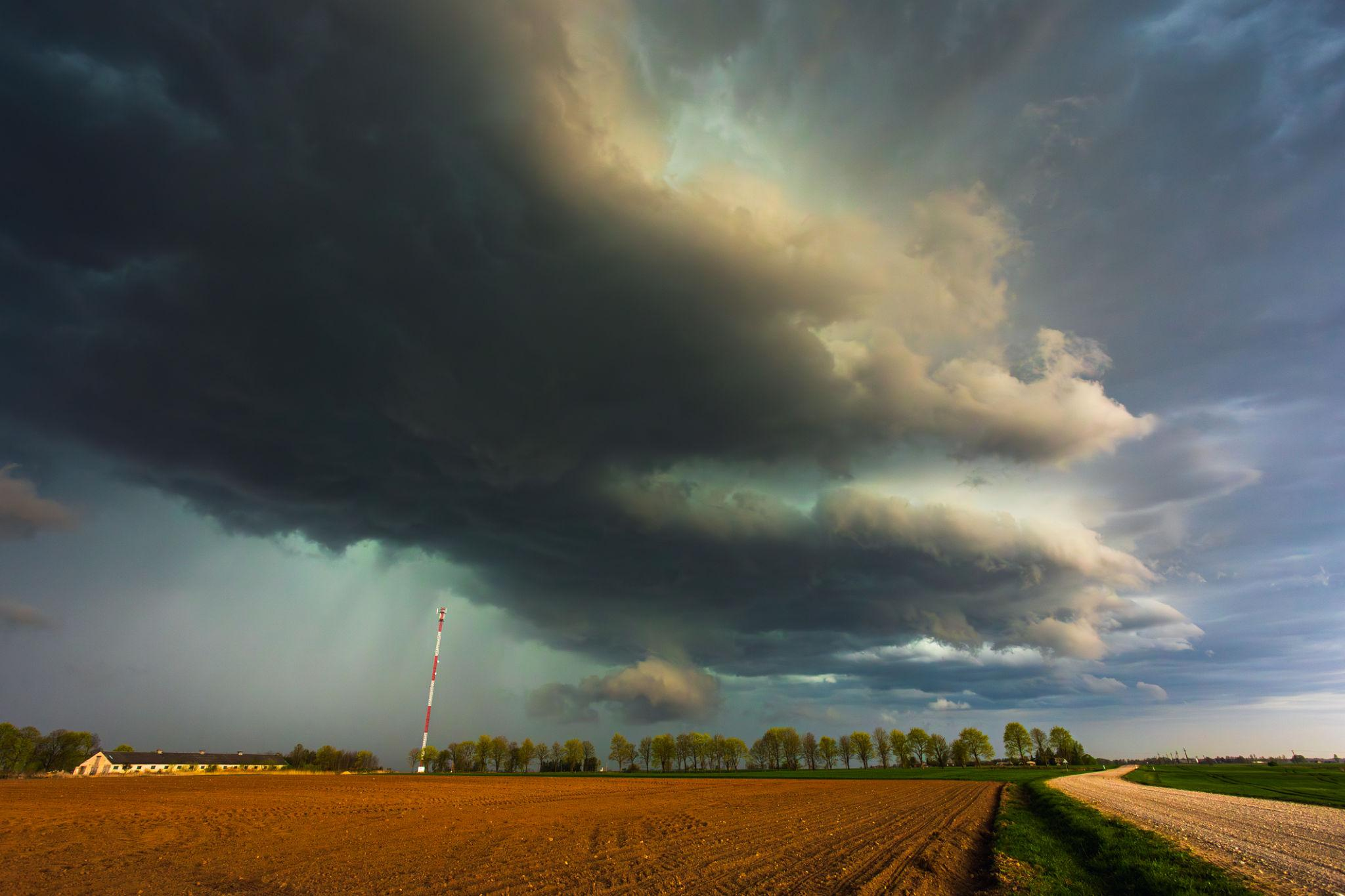
A rapidly evolving severe weather pattern has placed multiple regions under heightened alert, with tornado watches, warnings, and flash flooding concerns unfolding in real time. From the Midwest to the Southern Plains, meteorologists are tracking a volatile system producing damaging winds, large hail, and the potential for tornado development.
- A Night of Escalating Weather Threats
- Live Developments: Tornado Watches and Warnings
- Oklahoma and the Southern Plains: Tornado Activity and Damage Reports
- Midwest Impact Zone: Tornado Risk and Flooding Concerns
- Understanding the Alerts: Watch vs Warning
- Key Hazards Beyond Tornadoes
- Timeline of the Storm System
- Public Safety and Emergency Response
- What Comes Next: Continued Instability
- Conclusion: A Multi-State Weather Event Still Unfolding
Live updates indicate that conditions remain dynamic, with storms intensifying overnight and continuing into the early hours of April 15, 2026. Authorities and weather teams are urging residents to remain alert as the situation develops across several states.
Live Developments: Tornado Watches and Warnings
Across large parts of the United States, tornado watches were issued as atmospheric conditions aligned for severe storm development. In Michigan, a tornado watch remained in effect until 4 a.m., with forecasters warning that “all hazards” were possible as thunderstorms moved across the region.


Meteorologists reported that severe thunderstorms were capable of producing heavy rainfall, damaging winds, and localized flooding. In some areas, rainfall totals had already reached between 1 and 2.5 inches, with additional precipitation expected, increasing the risk of flash flooding.
Meanwhile, in southeastern Michigan, forecasters emphasized that “damaging winds, large hail, and tornadoes are all possible late tonight,” highlighting the unstable atmospheric setup driving the storm system.


Oklahoma and the Southern Plains: Tornado Activity and Damage Reports
Further south, severe storms intensified across Oklahoma, where multiple tornado warnings were issued throughout the night. Reports indicated possible tornado activity near Muskogee and Summit, with storm trackers observing debris in the air, power flashes, and wind speeds exceeding 70 mph.
Power outages affected at least 3,000 customers in some areas, while damage assessments were expected to continue into the morning.
Although some warnings expired overnight, meteorologists cautioned that “multiple rounds of storms are expected through Wednesday night, not just one wave,” indicating a prolonged period of severe weather risk.
Midwest Impact Zone: Tornado Risk and Flooding Concerns
The broader Midwest region remained under significant threat, with storms sweeping through Illinois, Wisconsin, and surrounding areas. Forecast models indicated a peak risk window between late afternoon and midnight, when conditions were most favorable for tornado formation and severe storm intensification.


Meteorologists warned that some storms could produce winds up to 70 mph, large hail, and even EF-2 or stronger tornadoes under the right conditions.
At the same time, repeated rounds of heavy rainfall raised concerns about flash flooding. In some regions, flood warnings were issued as saturated ground conditions increased the likelihood of water accumulation in urban areas and low-lying regions.
Understanding the Alerts: Watch vs Warning
As live updates continue, understanding the distinction between weather alerts is critical:
- Tornado Watch: Indicates that conditions are favorable for tornado formation across a broad area. Residents should remain alert and prepared.
- Tornado Warning: Signals that a tornado is occurring or imminent, based on radar or confirmed sightings. Immediate shelter is required.
Warnings are typically localized and short-lived, often lasting between 20 and 45 minutes, but they represent the most urgent level of alert.
Key Hazards Beyond Tornadoes
While tornadoes remain the primary concern, forecasters emphasize that severe thunderstorms themselves can be equally dangerous. Current storm systems are producing:
- Damaging straight-line winds capable of structural damage
- Large hail that can impact vehicles and infrastructure
- Heavy rainfall leading to flash flooding
- Lightning risks and power disruptions
In some cases, storms initially classified as severe thunderstorms can quickly escalate into tornado-producing systems when rotation is detected.
Timeline of the Storm System
April 14 (Evening)
- Tornado watches issued across multiple states
- Severe thunderstorms begin forming and intensifying
- Initial warnings issued in Oklahoma and Midwest regions
Overnight (April 14–15)
- Tornado warnings triggered in localized areas
- Reports of damage, power outages, and debris
- Heavy rainfall leads to flood warnings
April 15 (Morning)
- Some warnings expire, but storms continue moving east
- Additional rounds of storms expected throughout the day
- Ongoing monitoring for renewed severe weather threats
Public Safety and Emergency Response
Authorities continue to stress the importance of preparedness. During tornado warnings, individuals are advised to:
- Move to the lowest level of a sturdy building
- Stay away from windows and exterior walls
- Use interior rooms or basements for protection
- Avoid attempting to outrun storms while driving
Emergency management teams are also monitoring infrastructure impacts, including power outages, flooding, and structural damage.
What Comes Next: Continued Instability
Meteorologists warn that the current system is not a single isolated event but part of a broader pattern of atmospheric instability. Additional storm waves are expected to develop through midweek and potentially into the weekend.
Cooler air masses may temporarily stabilize conditions in some regions, but renewed storm development remains likely as weather systems continue to move across the country.
Conclusion: A Multi-State Weather Event Still Unfolding
The ongoing tornado warning situation reflects a complex and high-impact weather system affecting millions of people across several states. While some areas are beginning to see conditions stabilize, others remain under active threat as storms continue to develop and shift.
The combination of tornado risk, damaging winds, and flooding underscores the need for continuous monitoring and rapid response. As forecasts evolve, staying informed through real-time updates remains essential.