Latest Snowstorm Alerts and Travel Disruptions Explained
A Practical Guide to Navigating Severe Winter Weather
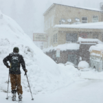
As fresh snowstorm alerts sweep across parts of the United States, particularly in the Rocky Mountain region, communities are once again confronting a familiar but dangerous reality: rapidly changing winter conditions that can disrupt travel, strain infrastructure, and pose serious safety risks.
- A Practical Guide to Navigating Severe Winter Weather
- What the Latest Snowstorm Alerts Are Warning
- Why Snowstorms Disrupt Travel So Quickly
- High-Risk Travel Corridors
- How Authorities Recommend You Respond
- The Broader Pattern: Why These Storms Matter
- What Comes Next: The Short-Term Outlook
- Final Takeaway: Preparedness Is the Real Forecast
From Wyoming to Colorado and Montana, the latest warnings issued by the National Weather Service (NWS) highlight not just snowfall totals, but the broader implications of winter storms—especially when combined with strong winds, low visibility, and hazardous road conditions.
This guide breaks down what the latest alerts mean, where the biggest risks lie, and how individuals and communities can respond effectively.


What the Latest Snowstorm Alerts Are Warning
The current weather system is expected to deliver heavy snowfall reaching up to 10 inches across parts of Wyoming, Colorado, and Montana beginning Monday.
The NWS has emphasized that these conditions could make outdoor activity “dangerous” and turn roads—especially bridges and overpasses—into “hazardous” surfaces.


Key Impact Zones
- Southern Wyoming (Sierra Madre & Snowy Ranges):
6–10 inches of snow expected from Monday afternoon through Tuesday. - North-central & northeastern Wyoming:
5–10 inches likely by midday Monday. - Central Colorado mountains:
Up to 3 inches early, with higher elevations seeing as much as 8 inches and winds up to 40 mph. - Southern and southeastern Montana (including Bighorn regions):
Between 1 and 10 inches of snow, with winds of 30–35 mph.
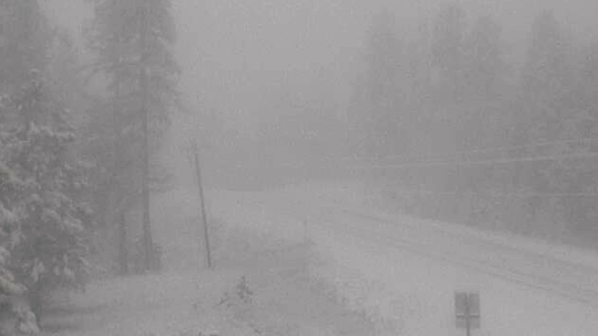
The pattern is consistent: light snow in the morning followed by heavier, more disruptive snowfall later in the day—an evolution that often catches travelers off guard.
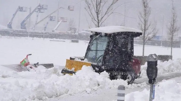
Why Snowstorms Disrupt Travel So Quickly
Even relatively modest snowfall can have outsized effects. In fact, as little as 2 inches of snow can disrupt transportation systems, while heavier accumulations dramatically increase risk.
The Core Hazards
1. Reduced Visibility
Blowing snow and wind can create near-whiteout conditions, where drivers can barely see a few feet ahead.
2. Loss of Traction
Snow and ice reduce tire grip, lowering vehicle control and increasing stopping distances.


3. Wind Amplification
Gusts—such as the 30–40 mph winds forecast in this system—can redistribute snow, creating drifts and covering cleared roads.
4. Rapid Deterioration of Conditions
A road that appears safe in the morning can become treacherous by afternoon as snowfall intensifies.
The National Weather Service defines severe winter conditions as those capable of making travel “extremely dangerous,” especially when snow and wind combine to reduce visibility and mobility.
High-Risk Travel Corridors
The current alerts specifically highlight several major highways and passes likely to be impacted:
- Highway 14 in the Bighorns
- Interstate 90 (Lodge Grass to Sheridan)
- US-212 over Lame Deer Divide
- Powder River and Granite Passes
- Interstate 25 and I-90 near Buffalo
- Colorado mountain passes including Fremont Pass
These routes are particularly vulnerable due to elevation, exposure to wind, and limited alternate paths.
For freight transport and long-distance travel, disruptions along these corridors can ripple across supply chains and regional economies.
How Authorities Recommend You Respond
1. Limit Travel
The clearest advice: avoid unnecessary travel during heavy snowfall periods.
2. If Travel Is Essential
Drivers should:
- Allow extra travel time
- Reduce speed significantly
- Maintain safe following distances
- Carry a winter emergency kit including:
- Blankets
- Food and water
- Flashlight
- Fully charged phone
3. Prepare at Home
Heavy snow can bring down tree branches and power lines, leading to outages. Residents are advised to:
- Stock essential supplies (food, water, medication)
- Prepare backup lighting and heating options
- Stay updated with local forecasts
These measures are not merely precautionary—they are often critical in preventing emergencies during prolonged winter events.
The Broader Pattern: Why These Storms Matter
While this particular system is regional, it reflects a broader winter weather pattern seen across North America, where storm systems can stretch thousands of miles and affect multiple states simultaneously.
Large-scale winter storms have historically:
- Grounded flights and disrupted transportation networks
- Triggered power outages affecting hundreds of thousands
- Forced school closures and remote work transitions
Even localized events, like the current Rocky Mountain snowfall, can have cascading effects—especially when they intersect with major transport routes.
What Comes Next: The Short-Term Outlook
The immediate forecast offers some relief—but not uniformly.
- Wyoming: Warmer, drier weather expected after the storm
- Montana: Transition to warmer conditions with rain replacing snow
- Colorado: Continued intermittent snowfall throughout the week, though lighter accumulations
By the weekend, conditions across all three states are expected to become drier and warmer, signaling a temporary break from severe winter weather.
Final Takeaway: Preparedness Is the Real Forecast
Snowstorms are not unusual—but their impacts can escalate quickly, especially when combined with wind, terrain, and timing.
The latest alerts serve as a reminder that:
- Weather systems can evolve rapidly
- Travel disruptions are often predictable—but avoidable
- Preparation, not reaction, is the most effective strategy
As communities across Wyoming, Colorado, and Montana brace for snowfall, the focus remains on awareness, caution, and readiness—three factors that often determine whether a winter storm becomes a manageable inconvenience or a serious hazard.