Tornado Warning Wisconsin: Storms Sweep Through Milwaukee and Madison as Severe Weather Threat Persists
A Volatile Night Across Wisconsin
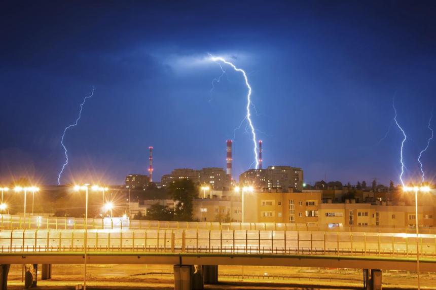
Southeastern Wisconsin experienced a tense and fast-moving severe weather event early Tuesday, as tornado warnings and severe thunderstorm warnings triggered widespread alerts across key regions including Milwaukee, Racine, and Waukesha counties. The situation evolved rapidly, with warnings eventually expiring—but not before leaving behind power outages, damage risks, and lingering concern across the state.
- A Volatile Night Across Wisconsin
- Timeline: From Tornado Warning to Expiration
- Impact: Power Outages and Damage Risks
- Why These Storms Developed
- Flood Risk Adds Another Layer of Concern
- Understanding the Alerts: Watch vs Warning
- Safety Guidance: What Residents Were Told
- Statewide Awareness and Preparedness Efforts
- Broader Regional Context: Midwest Storm Activity
- What Comes Next
- Conclusion: A Reminder of Wisconsin’s Severe Weather Reality
At the center of the response was the National Weather Service (NWS), particularly its Milwaukee-Sullivan office, which monitored the storms as they intensified overnight.
Timeline: From Tornado Warning to Expiration
The severe weather system unfolded in distinct phases, demonstrating how quickly atmospheric conditions can escalate:


- 12:30 a.m. – 12:35 a.m. CDT: Tornadic activity threatened areas near eastern Madison, including Sun Prairie, Windsor, and Cottage Grove. Radar indicated rotation, raising immediate concern for tornado formation.
- 2:03 a.m. CDT: A line of severe thunderstorms stretched from 16 miles east of Oostburg to near Union Grove, moving east at approximately 50 mph.
- 2:15 a.m. CDT: Tornado warnings for Milwaukee, Washington, and Ozaukee counties expired. Severe thunderstorm warnings for multiple counties also ended.
- Until 4:00 a.m. CDT: A Severe Thunderstorm Watch remained in effect, signaling ongoing atmospheric instability.
The NWS confirmed:
“The severe thunderstorm which prompted the warning has moved out of the warned area. Therefore, the warning will be allowed to expire.”
Despite the expiration, the situation remained dynamic, requiring continued vigilance.


Impact: Power Outages and Damage Risks
The storm system carried significant destructive potential. According to utility reports, approximately 57,000 customers were without power across Wisconsin at the peak of the event.
Meteorologists highlighted the primary hazard:
- Wind gusts up to 60 mph
- Potential structural damage to roofs and siding
- Downed trees and debris hazards
- Risks to vehicles and mobile homes
The NWS warned:
“Flying debris will be dangerous to those caught without shelter. Mobile homes will be damaged or destroyed. Damage to roofs, windows, and vehicles will occur.”
Affected areas included densely populated zones such as Milwaukee, Greenfield, Oak Creek, and Racine, increasing the potential for widespread disruption.


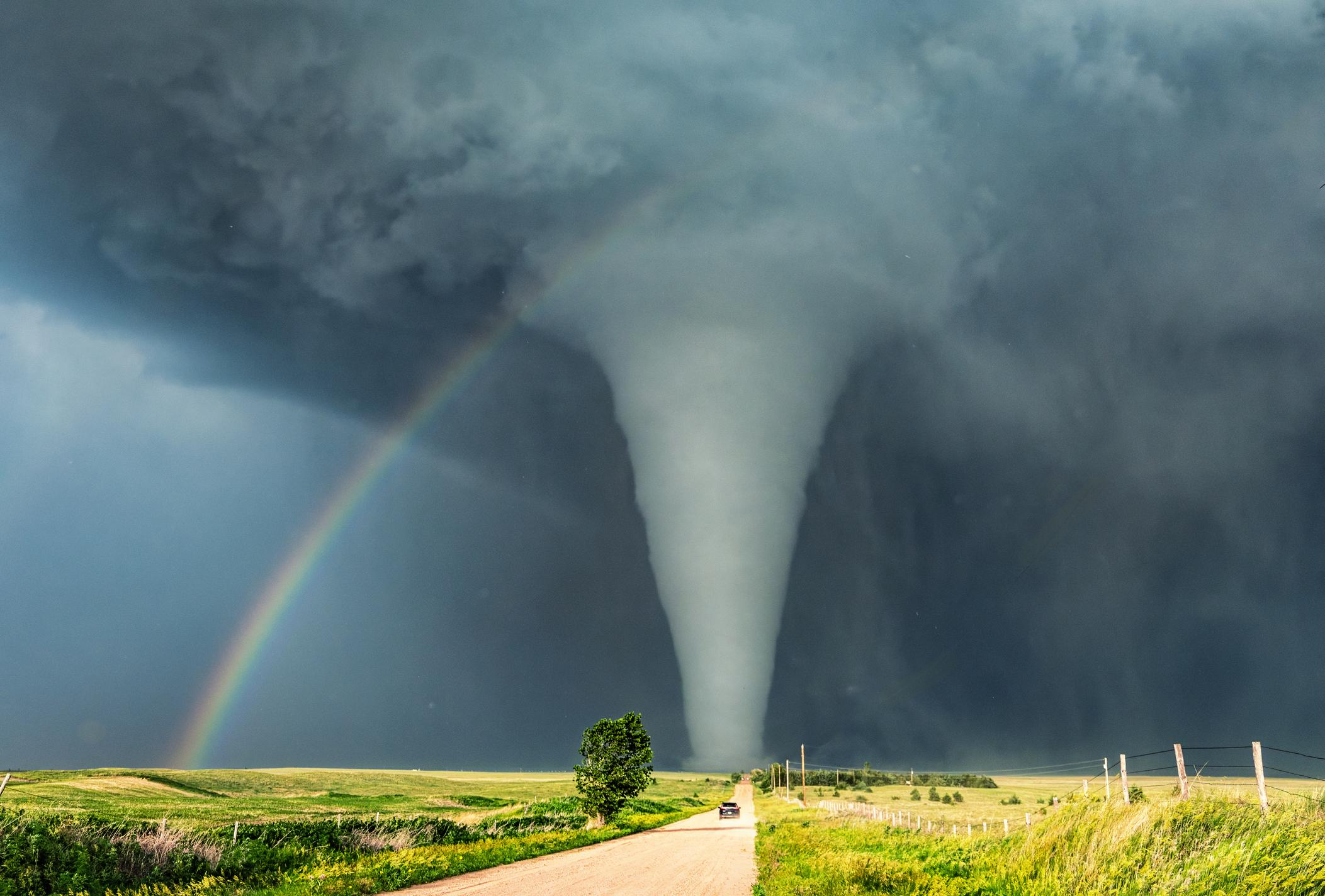
Why These Storms Developed
The severe weather was driven by a classic springtime setup in the Midwest:
- A low-pressure system moving through the region
- Warm, humid air pushing temperatures near 74°F
- Heavy fog and atmospheric instability
- Strong wind shear supporting storm rotation
The Storm Prediction Center had already identified the risk, noting potential for tornadoes, hail, and damaging winds across southeastern Wisconsin.
This combination created an environment where severe thunderstorms could quickly evolve into tornado-producing systems.
Flood Risk Adds Another Layer of Concern
Beyond tornado threats, authorities issued a Flood Watch for counties including Dodge and Washington. Repeated rainfall saturated the ground, increasing the likelihood of urban flash flooding, particularly in low-lying or poorly drained areas.
Local officials emphasized that heavy rain moving through Madison could “cause local urban flash flooding,” adding complexity to emergency response efforts.
Understanding the Alerts: Watch vs Warning
Severe weather alerts often cause confusion. The distinction is critical:
- Tornado Watch: Conditions are favorable for tornado formation. Stay alert and prepared.
- Tornado Warning: A tornado has been sighted or detected by radar. Immediate action is required.
- Tornado Emergency: The highest level of alert, indicating a confirmed, destructive tornado posing catastrophic risk.
The NWS stresses that warnings cover smaller areas and require immediate shelter, while watches are broader and signal preparedness.
Safety Guidance: What Residents Were Told
Authorities reinforced standard tornado safety protocols during the event. These measures are designed to reduce injury and fatality risk:
Indoor Safety
- Move to a basement or lowest floor
- Stay in a small interior room
- Keep distance from windows
If Driving
- Do not attempt to outrun a tornado
- Exit the vehicle and seek sturdy shelter
- As a last resort, lie flat in a ditch and cover your head
These steps are critical because tornadoes can develop rapidly from severe thunderstorms, often with little visible warning.
Statewide Awareness and Preparedness Efforts
The timing of the storms coincides with Severe Weather Awareness Week, a period dedicated to improving public readiness.
A statewide tornado drill scheduled for April 16 at 1:45 p.m. will test:
- Social media alert systems
- NOAA Weather Radio broadcasts
- Public information messaging
- Outdoor warning sirens (in some communities)
Officials are urging residents to use this opportunity to review emergency plans and ensure readiness for future events.
Broader Regional Context: Midwest Storm Activity
The Wisconsin storms are part of a broader pattern affecting the Upper Midwest, including parts of Minnesota. Cities such as Minneapolis have also been under scrutiny for severe weather risks, with similar conditions supporting tornado warnings and hail-producing storms.
Meteorologists caution that spring systems like this can produce multi-state severe weather outbreaks, especially when moisture and wind dynamics align.
What Comes Next
While the immediate tornado warnings have expired, the continued presence of a Severe Thunderstorm Watch underscores that the threat has not fully passed. Additional storms, including afternoon redevelopment, remain possible.
Looking ahead, forecasters expect:
- Continued storm development through the day
- Ongoing risk of hail and damaging winds
- Potential localized flooding in saturated areas
Conclusion: A Reminder of Wisconsin’s Severe Weather Reality
The overnight storms serve as a reminder of how quickly conditions can shift during severe weather season in Wisconsin. While no catastrophic tornado damage has been confirmed in this event, the combination of high winds, power outages, and flood risk highlights the importance of preparedness.
With alerts issued by the National Weather Service and risk assessments from the Storm Prediction Center, residents are urged to remain weather-aware, monitor updates, and act quickly when warnings are issued.
Severe weather remains an evolving threat—and in the Midwest, vigilance is not optional.