


Severe Thunderstorm Warning: What It Means, What’s Happening, and Why It Matters
Severe weather alerts are among the most urgent public safety messages issued by meteorological agencies, and a thunderstorm warning is one of the most critical. Recent warnings issued across parts of the United States highlight how quickly conditions can escalate—from darkening skies to damaging winds, hail, and lightning within minutes.
- A Wave of Severe Weather Alerts Across Multiple Regions
- Tracking the Storm: Speed, Direction, and Escalation
- Primary Threats: Wind, Hail, and Lightning
- Areas Impacted: Communities in the Storm’s Path
- Immediate Safety Actions: What the Warning Requires
- Why Thunderstorm Warnings Matter More Than Ever
- The Role of Real-Time Monitoring and Updates
- Looking Ahead: What Comes Next
- Conclusion
This article takes a closer look at what a thunderstorm warning means in practice, the real-time developments behind recent alerts, and how individuals and communities are expected to respond.
A Wave of Severe Weather Alerts Across Multiple Regions
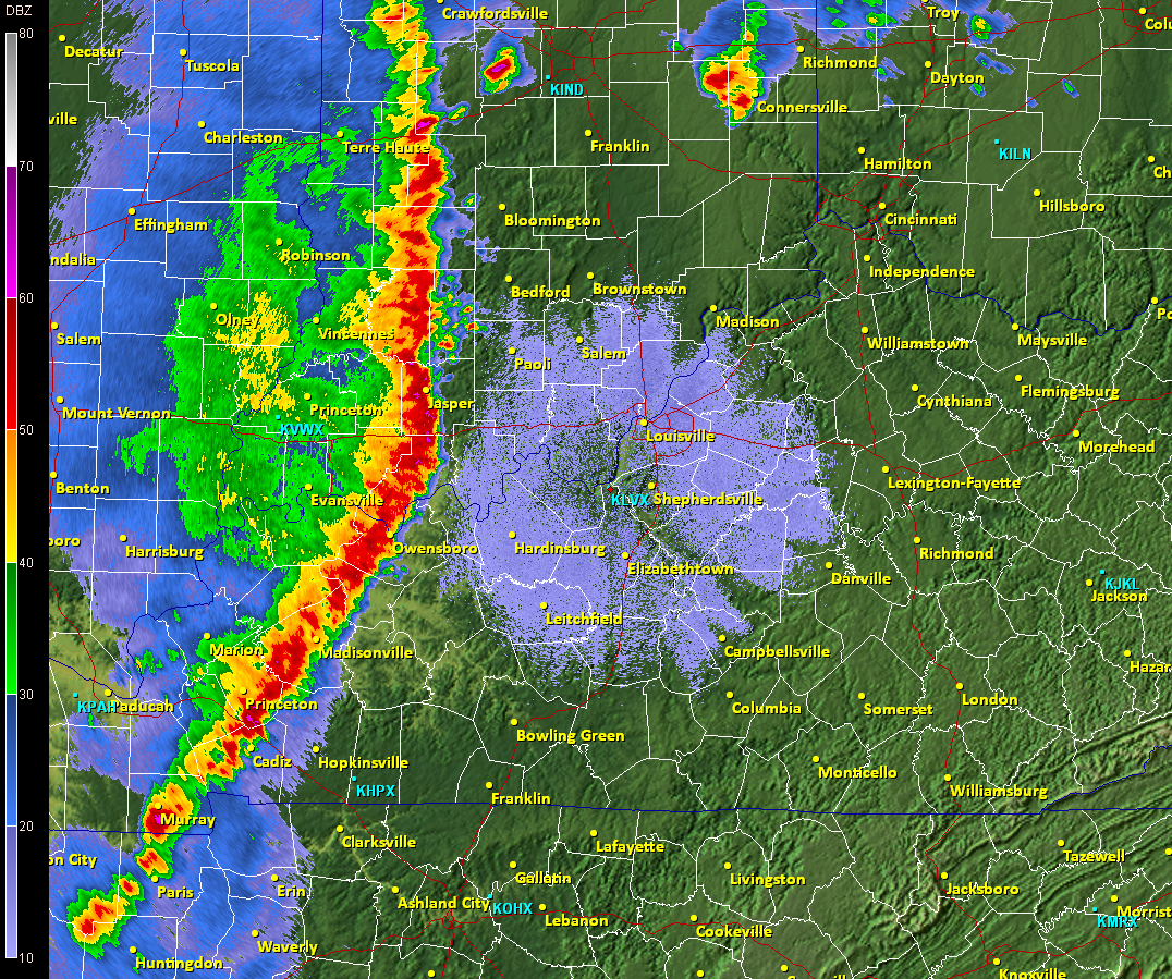
Authorities, including the National Weather Service, have issued multiple Severe Thunderstorm Warnings across different regions, reflecting a widespread pattern of unstable weather conditions.
In southwestern and west-central Iowa, warnings were issued for areas including northeastern Cass County, Guthrie County, southeastern Audubon County, and northern Adair County. The alert remained active until 9:30 PM CDT, following radar detection of a severe storm moving east at approximately 30 mph.
At the same time, similar warnings were issued in Wisconsin, affecting counties such as Kenosha, Racine, Walworth, Fond du Lac, and Dodge. These alerts evolved throughout the day, with updates adjusting affected areas and timelines based on real-time storm tracking.
Tracking the Storm: Speed, Direction, and Escalation
Meteorological data indicated that storms were not stationary. For example:
- A storm near Adair, Iowa was moving east at 30 mph
- Another storm near Sharon, Wisconsin moved northeast at 35 mph
These movement patterns are significant. A fast-moving thunderstorm can rapidly expand its impact zone, leaving limited time for preparation. Radar-based detection allows forecasters to issue warnings before the most dangerous conditions arrive, but response time remains critical.
Primary Threats: Wind, Hail, and Lightning
Across all warnings, three major hazards were consistently highlighted:
1. Damaging Wind Gusts
Wind speeds of up to 60 mph were reported or expected. At this intensity, winds can:
- Tear shingles off roofs
- Damage siding and windows
- Uproot trees or snap branches
- Disrupt power lines
2. Quarter-Size Hail
Hailstones described as quarter size pose a direct risk to both property and safety. Expected impacts include:
- Dents and shattered windshields on vehicles
- Damage to crops and outdoor infrastructure
- Injury risk for individuals caught outside
3. Frequent Cloud-to-Ground Lightning
Lightning remains one of the most dangerous aspects of thunderstorms. Officials emphasized a key safety principle:
“If you can hear thunder, you are close enough to be struck by lightning.”
Lightning can strike miles ahead of a storm, making early shelter essential.
Areas Impacted: Communities in the Storm’s Path
The warnings included detailed lists of affected communities, demonstrating the localized nature of severe weather alerts.
In Iowa:
- Guthrie Center
- Stuart
- Panora
- Lake Panorama
- Anita
- Exira
- Adair
- Casey
- Menlo
- Yale
- Brayton
- Springbrook State Park
The storm also affected Interstate 80 between mile markers 55 and 96, raising concerns for motorists.
In Wisconsin:
- Lake Geneva
- Union Grove
- Paddock Lake
- Williams Bay
- Twin Lakes
- Burlington
- Salem
- Eagle Lake
These location-specific alerts help residents understand their immediate risk and act accordingly.
Immediate Safety Actions: What the Warning Requires
A thunderstorm warning is not advisory—it signals that hazardous weather is already occurring or imminent. The recommended actions are clear and urgent.
These steps are designed to minimize exposure to flying debris, lightning, and structural damage:
- Move indoors immediately
- Take shelter in an interior room
- Stay on the lowest floor of a building
- Avoid windows and exterior walls
This process ensures maximum protection during peak storm intensity. The emphasis on interior shelter reflects the unpredictable nature of high winds and debris.
Why Thunderstorm Warnings Matter More Than Ever
Severe thunderstorms are not unusual, but their intensity and frequency can vary significantly. What makes current warnings notable is the consistency of reported hazards across regions—particularly the combination of strong winds and hail.
Several broader implications emerge:
Increased Infrastructure Risk
Repeated exposure to storms with 60 mph winds can accelerate wear on buildings, roads, and power systems.
Transportation Disruptions
Highways like Interstate 80 become high-risk zones during severe weather, especially with reduced visibility and hail.
Public Safety Awareness
Warnings emphasize behavioral response—moving indoors quickly remains the most effective life-saving action.
The Role of Real-Time Monitoring and Updates
One key feature of these warnings is their dynamic nature. Alerts are:
- Updated as storms move
- Expanded or reduced based on radar data
- Cancelled when conditions improve
For example, in Wisconsin, portions of Walworth County saw warnings lifted as conditions changed, while other areas were added. This real-time adjustment reflects advances in meteorological tracking and forecasting.
Looking Ahead: What Comes Next
While individual storms pass quickly, the pattern of repeated warnings suggests ongoing atmospheric instability. This could mean:
- Continued alerts in the coming days
- Rapid storm development in late afternoon and evening hours
- Increased reliance on real-time updates and alerts
Communities are encouraged to remain vigilant, especially during peak storm seasons.
Conclusion
A thunderstorm warning is a high-priority alert indicating immediate danger from severe weather conditions. Recent warnings across Iowa and Wisconsin demonstrate how quickly storms can develop, intensify, and impact multiple communities.
With hazards including 60 mph winds, quarter-size hail, and dangerous lightning, the risks are both immediate and serious. The guidance remains straightforward: move indoors, seek shelter, and stay informed.
As weather systems continue to evolve, the importance of timely alerts—and rapid public response—remains central to minimizing damage and protecting lives.